The Tange Bijar-Delavaran 2D and 3D Seismic Data Acquisition Project in Iran collected seismic data in challenging mountainous regions, overcoming obstacles like minefields and complex geological conditions.
Tange Bijar-Delavaran 2D and 3D Seismic Data Acquisition Project
CATEGORIES :
- Location Tange Bijar, Ilam
- Start Date February 2019
- End Date July 2022
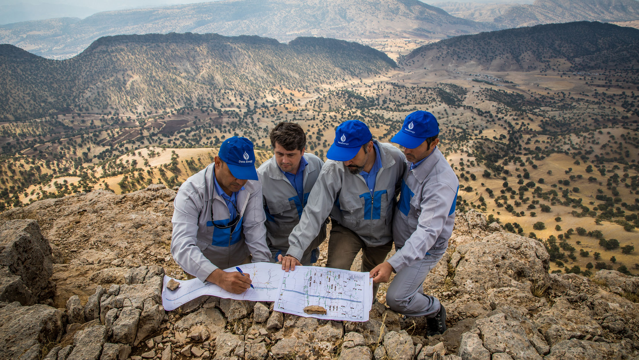
The project for acquiring 3D seismic data in Tang-e-Bijar and Delavaran fields was officially assigned by the client, Iran Central Regions Oil Company (ICOFC) in February 2019, with a workload comprising 750 kilometers of 2D lines and a 1557 square kilometer area for 3D operations. The project was intended for implementation in the geographical regions encompassing Ilam and Kermanshah provinces, including the cities of Ilam, Ivan, Mehran, and Kermanshah.
The geophysical project involved the collection of seismic data in both the two-dimensional phase, with the objective of identifying and developing the Bankol and Babagir fields. This phase was completed in February 2020, encompassing the performance of 8,303 shot points. Subsequently, in June 2022, seismic data collection was carried out in the three-dimensional section to identify and develop the Tang-e-Bijar and Delavaran gas and oilfields. A total of 64,935 shot points was acquired during this phase. Overall, the project spanned a duration of 46 months, during which both two-dimensional and three-dimensional operations were conducted.
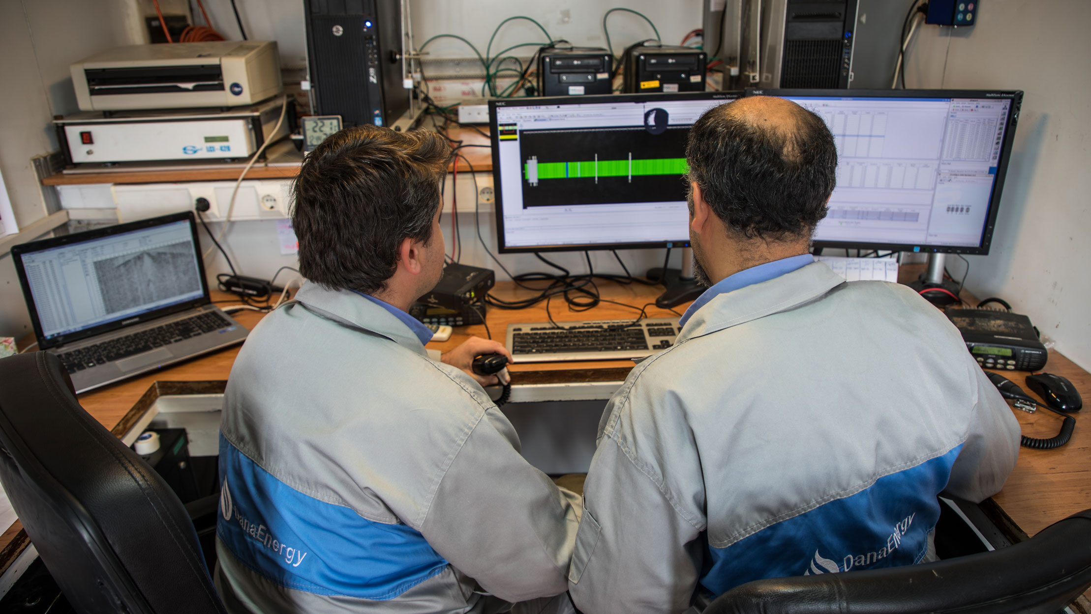
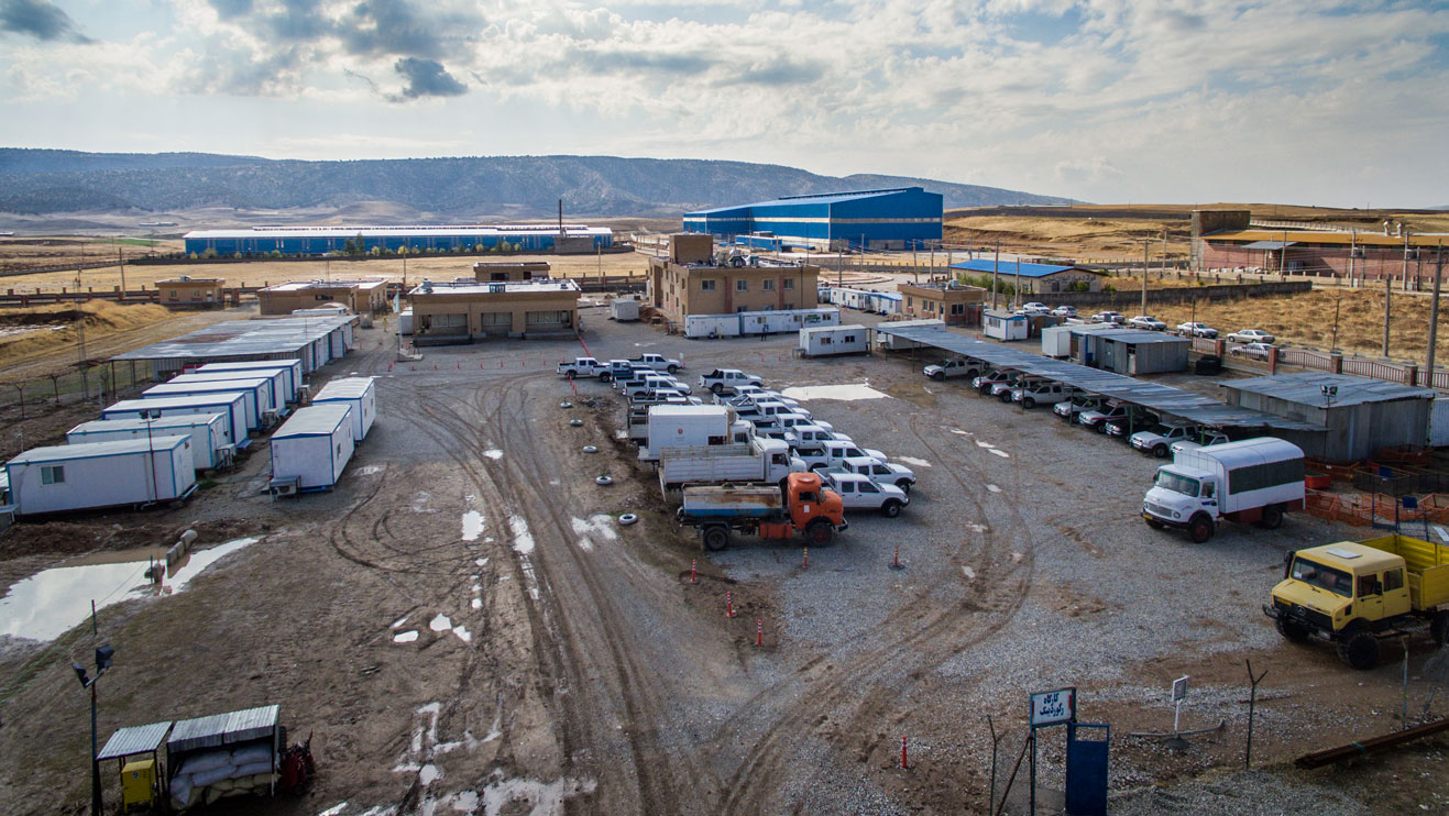
In addition to the field operation, this contract also encompassed the processing and final interpretation of data within the project area. As a result, a processing and interpretation center equipped with advanced servers was established in Ilam city. This milestone marked the first instance in the history of operational projects in the country where such a center was established, enabling simultaneous processing and interpretation activities.
The operational scope of the project can be divided into two main parts in terms of topographical conditions:
45% comprises mountainous and extremely mountainous terrain.
55% consists of semi-mountainous areas, plains, and moorlands.
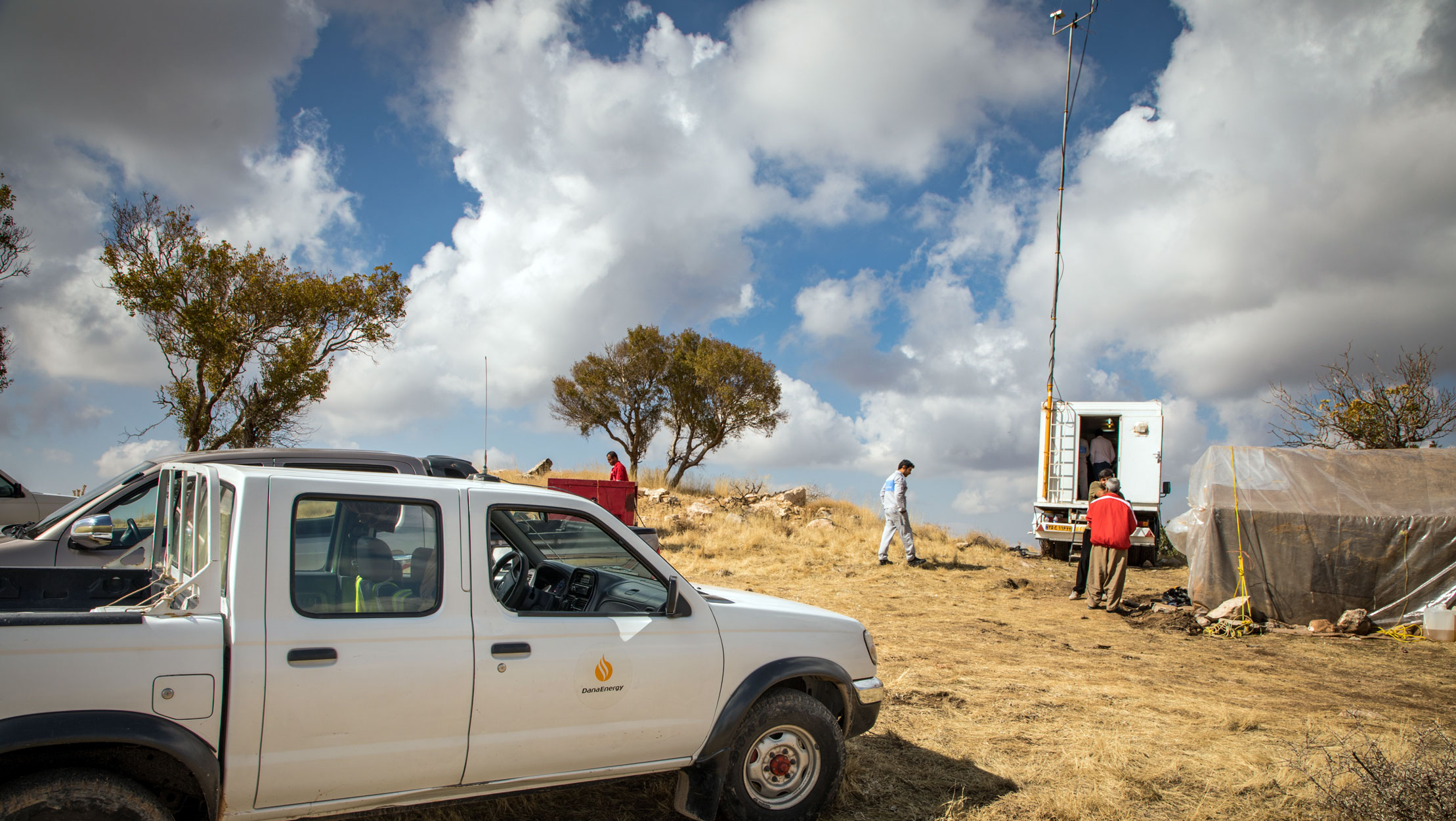
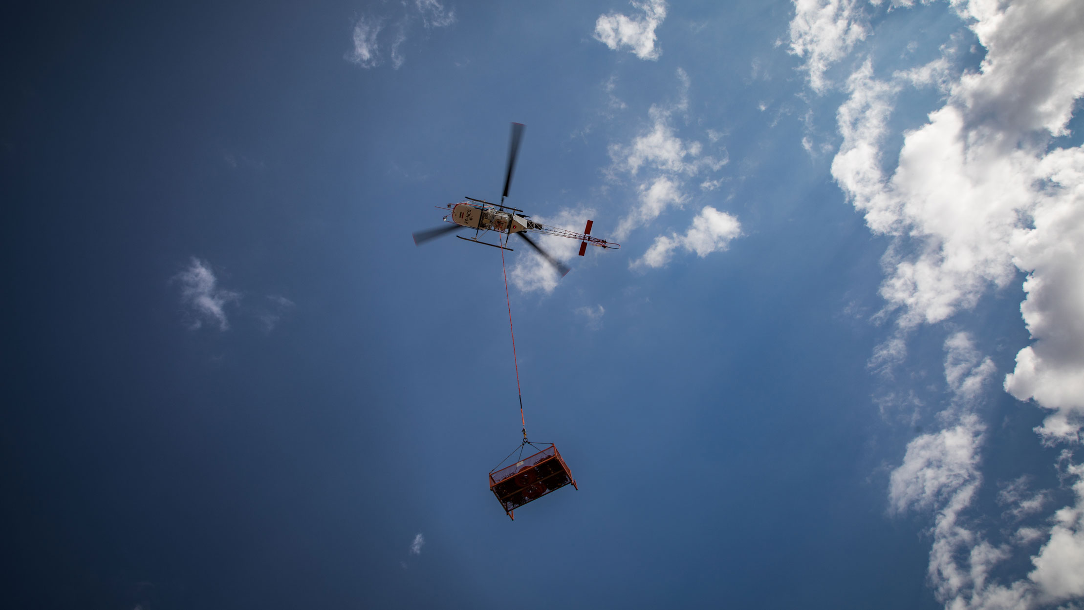
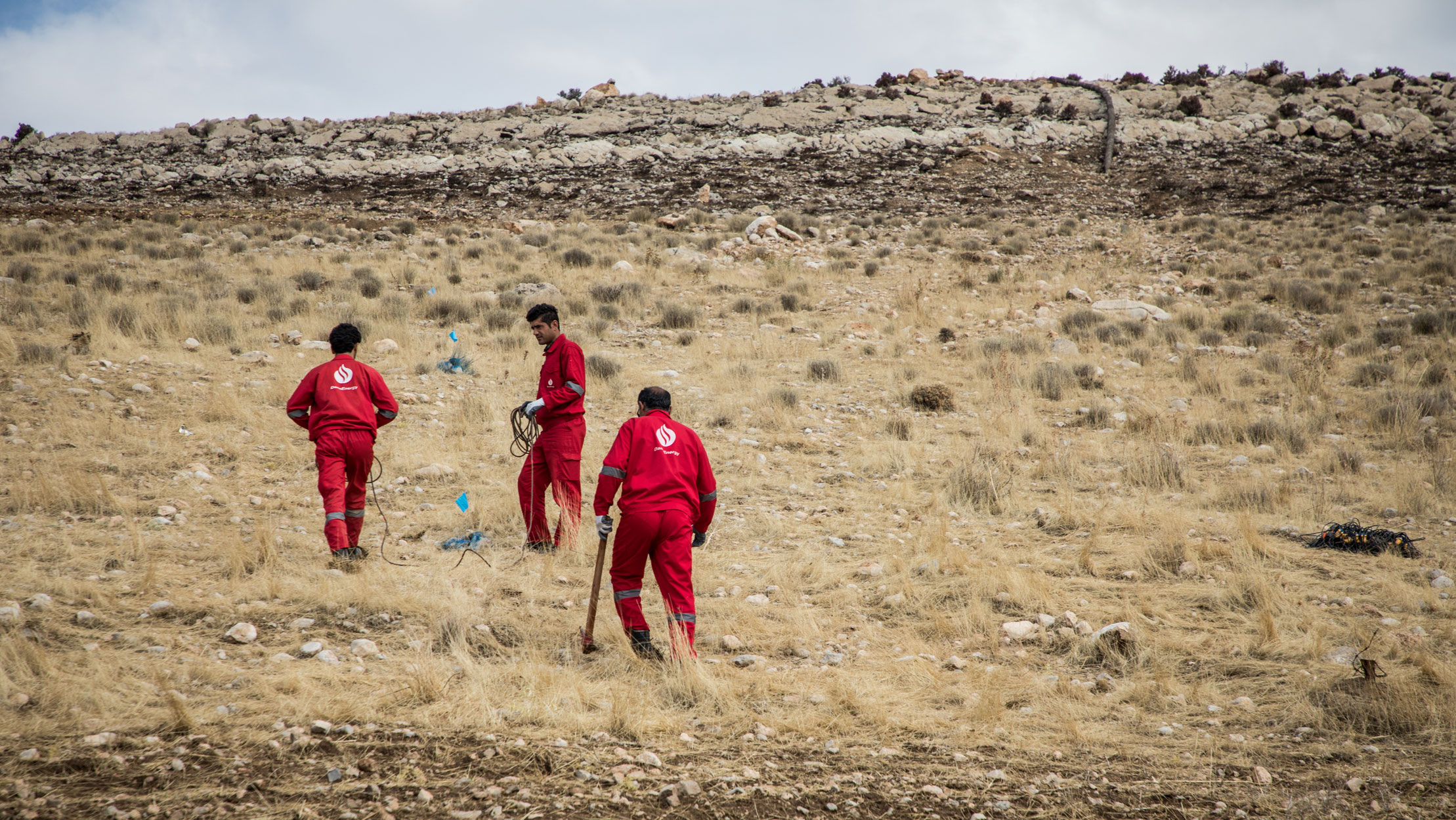
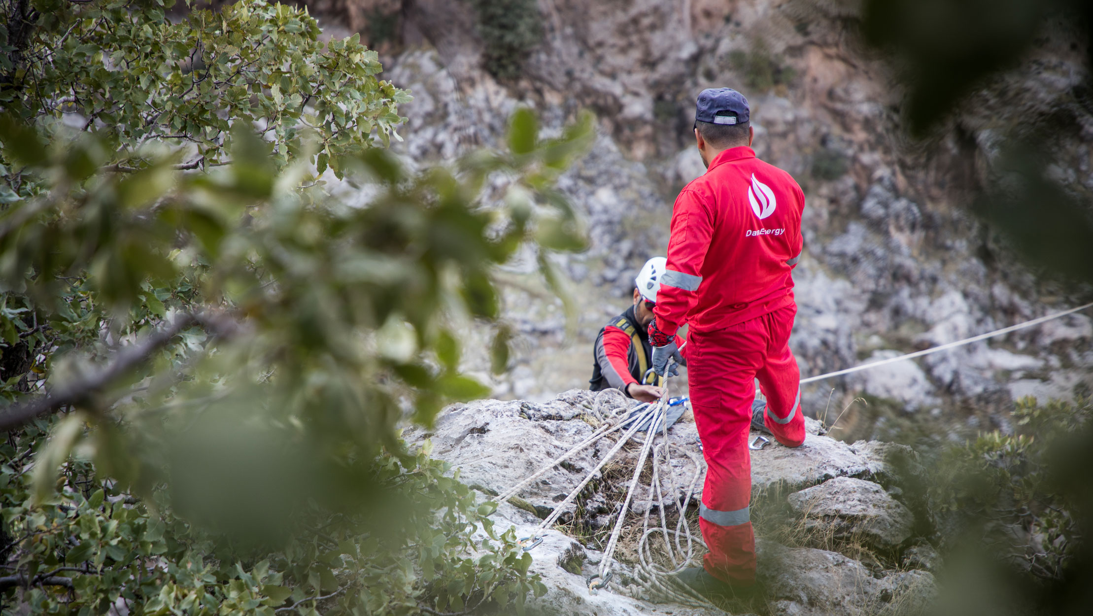
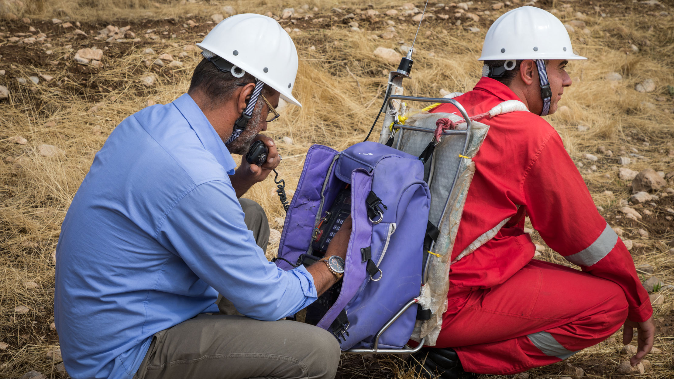
One notable characteristic of this project was the presence of challenging mountainous regions devoid of access roads, making it necessary to rely on helicopters for the transportation and movement of equipment in these areas. As a result, in accordance with the contractual and environmental considerations, a total of 633 hours of helicopter flights were conducted during both the two-dimensional and three-dimensional phases of the project. Among the project’s numerous challenges, one notable obstacle was the presence of areas contaminated with unexploded ammunition and extensive minefields within the project’s scope. To address this issue, a series of measures were undertaken. This included conducting 1,480 kilometers of Battle Area Clearance (BAC) and 242 kilometers of demining operations. Additionally, 3,500 shot points were carried out specifically for Deep Search operations, ensuring the safety and security of the project’s activities.
Effective management of regional stakeholders, coupled with the identification of operational risks and the implementation of appropriate response strategies, has been instrumental in attaining the project’s objectives in this arduous and demanding endeavor.
Ahmad Ali Poursanati, Project Manager
In addition to the aforementioned challenges, such as being situated on the border zero zone and the presence of the Kulak protected area, the inclusion of the Tang-e-Bijar gas facility within the project, the existence of numerous villages and agricultural lands, and the geological complexities of the Tang-e-Bijar reservoir, have collectively made this project one of the most demanding seismic operations ventures in the country. However, through effective management and meticulous operational planning, it was successfully completed.
It is noteworthy that the project actively engaged in social responsibility initiatives. Various activities were undertaken, including the planting of 1,000 saplings, providing essential equipment to schools and clinics in the region, contributing to the construction of a mosque, and supporting the organization of celebrations and religious ceremonies. These endeavors exemplify the project’s commitment to social well-being and community development.
Tags :