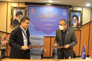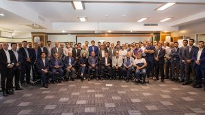
Another Great Win For Our Geophysics Team
Dana Energy won the tender for 3D seismic data ...
see more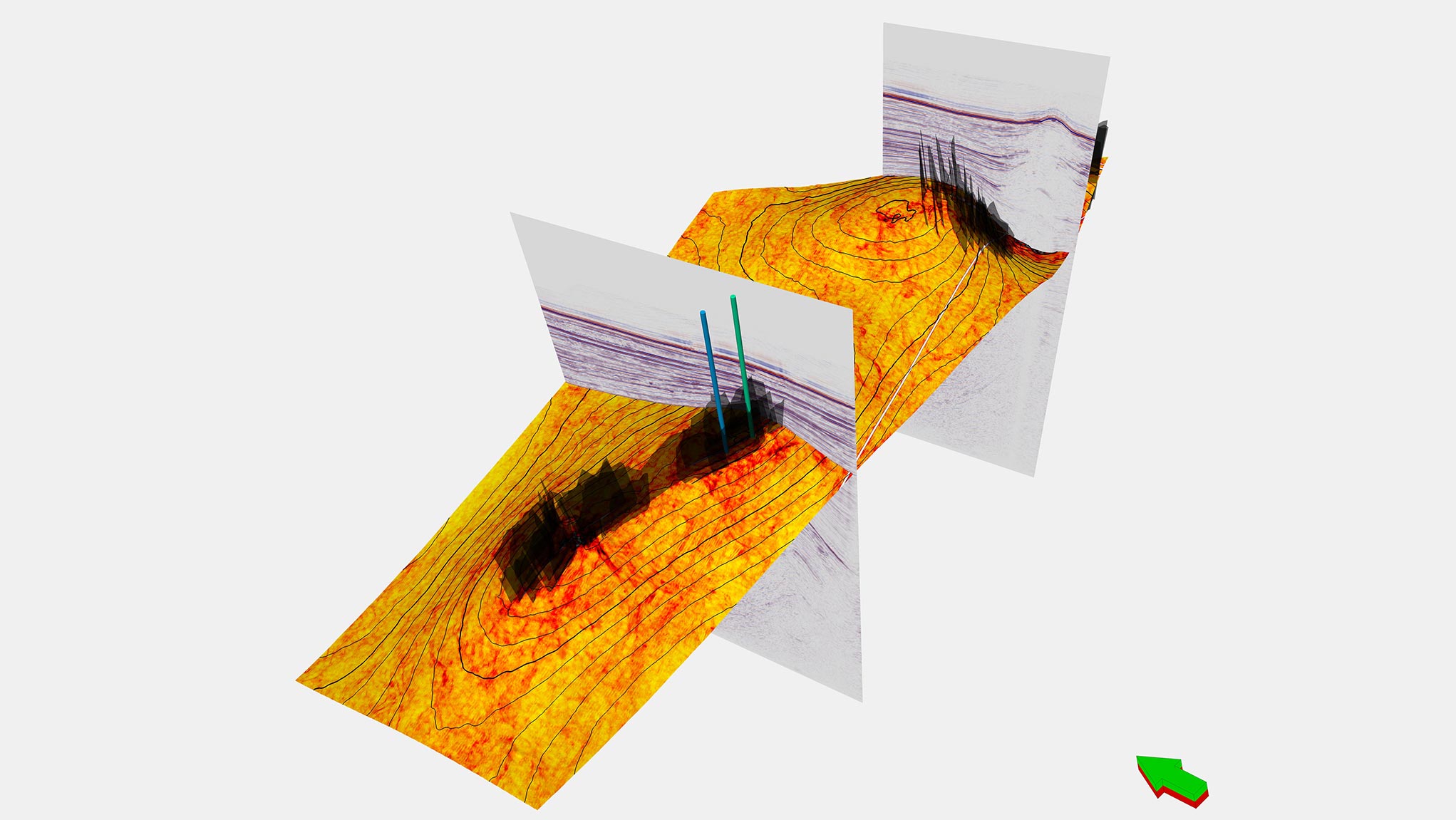
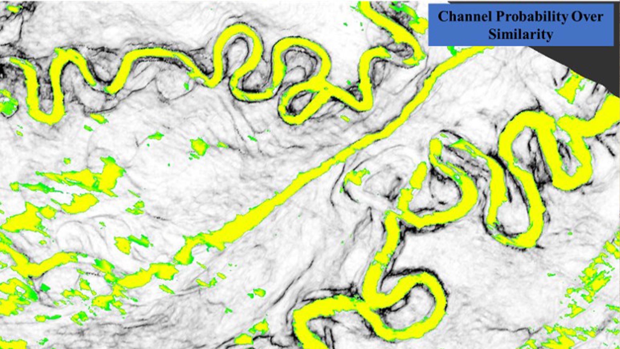

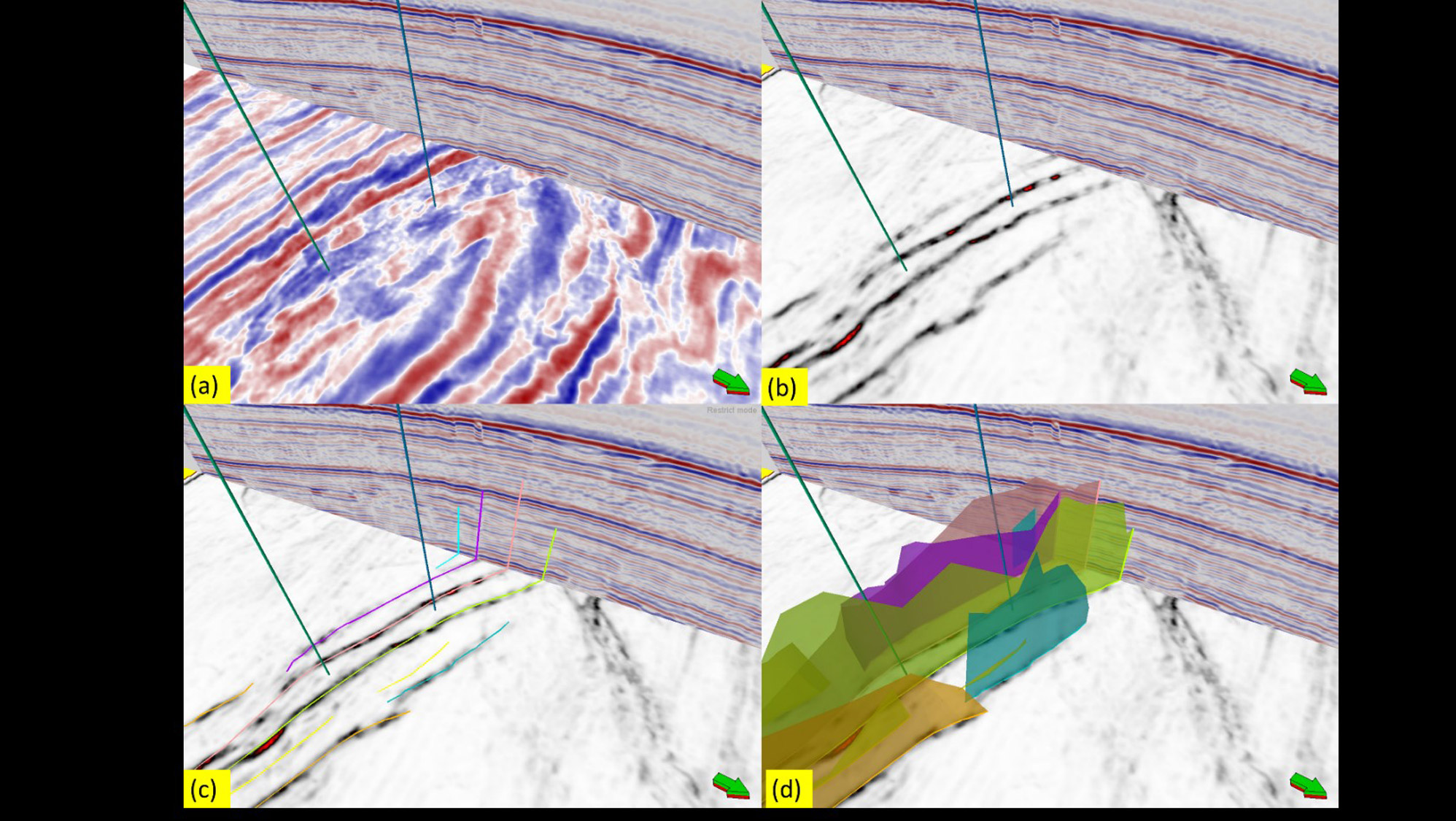
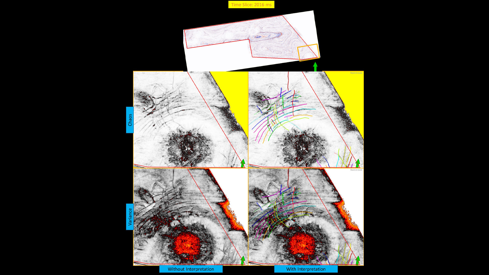
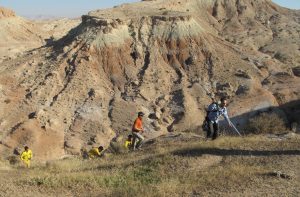
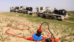
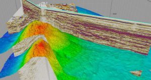
The Iranian SCB research project utilized geophysical and geological methods to detect geohazards and hydrocarbon reservoirs. It assessed plays and prospects, identified geohazards and gas hydrates, and introduced advanced AI and seismic techniques for improved data analysis.
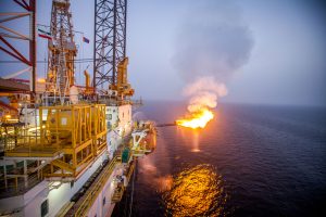
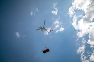
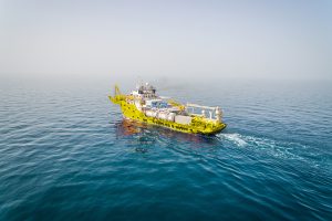
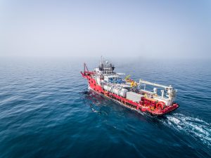
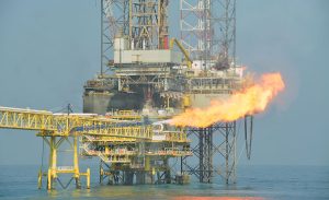
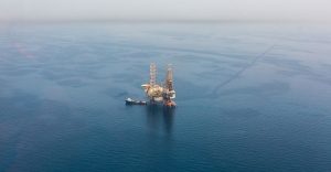
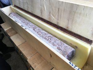
The South Caspian Basin (SCB) is the region dominated with abundant petroleum resources mainly in shallow-marine, deltaic to lacustrine deposits of middle Pliocene age in depth ranging from 2500 to 3500 m (called as “Productive Series”). So, oil and gas production has played an important commercial role in this region for more than 150 years. The exploration activities in Iranian portion of SCB was proceeding to drilling of two successful wells in 2012 and 2014 on one of the important structures now known as Sardar-Jangal Field.
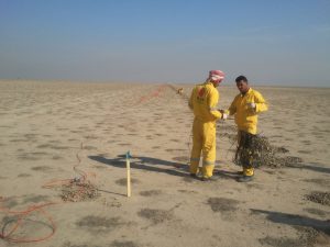
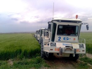
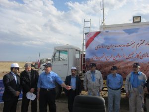
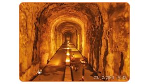
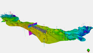
In continuation of exploration activity in this deep-sea environment, a research project with title of “Detection of Geohazards and Prospective Hydrocarbon Sweet-spots in the Caspian Sea Using Geophysical and Geological Methods and Reservoir Information” was planned to be conducted in the Iranian portion of central offshore of SCB. The study area was extended to 4110 square kilometers covered by four separated 3D marine seismic blocks connected with sparse 2D seismic lines. Khazar Exploration and Production Company (KEPCO) as a subsidiary of National Iranian Oil Company (NIOC) awarded this project to Dana Energy. The comprehensive study had been started on December 23, 2019 and successfully finished on March 8, 2022 with special focus on the ultimate goals summarized as below:
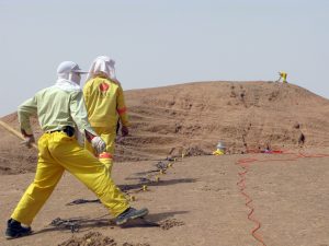
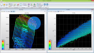
In this study, two aforesaid objectives were successfully achieved by Dana Energy’s Geoscientists and Geophysicists through accomplishing the following main phases:
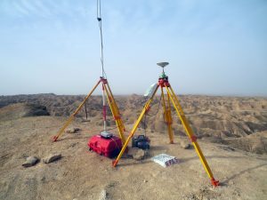
Meanwhile, due to the research-based nature of the project and for the first time in Iran, the following state-of-the-art techniques have been domesticated in Dana Energy as the by-products of the project:
The outcomes of this project reconfirm that Dana Energy as a knowledge-based enterprise can drive the optimum approaches in all aspects and create value for all clients.
Behnam Hoseini
Technical Director
Dana Energy won the tender for 3D seismic data ...
see moreDana Energy is the winner of the tender called ...
see moreThe torch of South Pars phase 16 was lit ...
see moreDana Energy has successfully completed Dalpari 3D seismic project ...
see moreIn a ceremony held by the health department of ...
see more“Tange Bijar complementary 2D seismic acquisition” is finished on ...
see moreTange Homam 2D seismic project of Dana Energy successfully ...
see moreThe operation of Ahwaz 3D seismic survey officially started ...
see moreIn line with its policies and commitment to meet ...
see moreDana Energy successfully finished operation of “Golestan 2D Seismic ...
see moreDana Energy announced today it has signed a memorandum ...
see moreDana Energy Public Relations: On Wednesday 6th Aug. 2014, ...
see moreIn late May 2015 project of acquisition and analysis ...
see moreNIOC Exploration Directorate has awarded Tandis 3D seismic data ...
see moreOn 14th of March 2018, a consortium led by ...
see moreThe Iranian Ministry of Petroleum selected 8 Iranian companies ...
see moreHisal 2D land seismic data acquisition which had been ...
see more“Glorious days for the nation has been created by ...
see moreDana Energy came in first place in a tender ...
see moreDana Energy’s mutual investment in innovative future. The “Energic Innovation ...
see moreDANA ENERGY SPONSORED THE GRADUATION CEREMONY OF AMIRKABIR UNIVERSITY'S ...
see moreAfter four years of continuous efforts, Tenge Bijar and ...
see moreThe data acquisition phase of Sialk's seismic project has ...
see moreIt is proudly announced that in a tender with ...
see morePassing the stages of “Nasr Abad Gas Storage” tender, ...
see moreDana Energy has been introduced as the winner of ...
see moreConducting tender of Bibihakimeh 3D Survey, Dana Energy was ...
see moreDana Energy is among rare Iranian companies that has ...
see moreDrilling Optimization Is An Art! Drilling optimization is the art ...
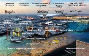
see moreDigital Oil Field of the Future The efficiency of digital ...
see morePositive effects of new technologies on hindered Iranian Industry Since ...
see moreSelection of Optimized PDC Bits in the12 ¼” Hole ...
see moreAn Overview of South Pars Monobore Completions South Pars Gas-Condensate ...
see moreMohammad Iravani, chairman of Dana Energy, talks to TOGY ...
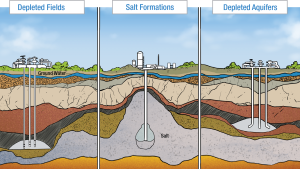
see moreThe first project of underground gas storage (UGS) was ...
see moreFifteen years after the establishment of Dana Energy, I ...
see moreDana Energy owns a unique Well Stimulation Vessel in ...
see moreDespite years of sanctions on Iran, Dana Energy has ...
see moreEarly procurement is vital to cementing and stimulation projects’ ...
see moreThe Well Services business of Dana Energy has tried ...
see moreIn an effort to learn the brilliant methodology of ...
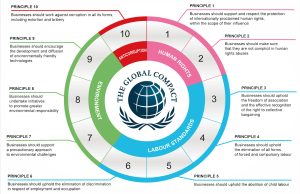
see moreThe United Nations Global Compact (UNGC) is a United ...
see moreIranian companies and authorities have to pay more attention ...
see moreSharif University of Technology hosted their annual start up ...
see moreFor the past 22 years, Tehran has hosted the ...
see moreIts summer and schools are out as usual. So ...
see moreOur people, conscience and socially responsible Dana Energy has always ...
see moreONE STEP CLOSER TO A GREEN FUTURE The story behind ...
see moreStanding Together Against COVID-19. A summary of Dana Energy’s efforts ...
see moreThe secret behind OKR and Why Giants love it! A ...
see moreWe’re still learning; always learning… Implementing education as a never-ending ...
see moreThe HUB: A Place To Enrich Work Life With ...
see moreLarge enterprises depend on integrity, coordination, and efficient resource ...
see moreIFS is a comprehensive enterprise software solution, favored by ...
see moreDana Energy’s teams in the Nargesi project step up ...
see moreWhy and how Dana Energy looks at education differently Dana ...
see more15th December 2021 The following article was contributed by Mrs. ...
see more17th December 2021 Trying to prevent the development of oil-gas-centric economic ...
see moreIn the present world of petroleum industry, to extract ...
see moreSince 1933, the World Petroleum Congress has been conducting ...
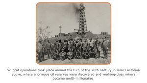
see moreIn the January 1925 issue of Naft Magazine, a ...
see moreMrs. Talbot Clifton, who has kindly contributed the following ...
see moreLeopold Amery was Minister of Colonial Affairs from 1924 ...
see moreThe stability and amount of oil production depends on ...
see moreWe all want to make progress in all aspects ...
see moreIt seems the managerial skills are not important; talking, ...
see moreIntroduction Review on the Petroleum Market in China: History, Challenges ...
see moreThe LNG Status in Iran and the World; A Timeline In ...
see morePetroleum, also known simply as oil, is a fossil fuel formed from ...
see moreThe API was founded in 1919, based in New ...
see moreBased on the approved resolution for the support of ...
see moreIntroduction The IEA was born with the 1973-1974 oil crisis, ...
see moreThe International Energy Agency (IEA), which has its headquarters ...
see moreIndian Strategic Petroleum Reserves Limited India’s SPR is managed by ...
see moreIntroduction One of the major issues in Iraq in terms ...
see moreThe International Energy Agency is presently considering a comprehensive ...
see moreIntroduction Created in 1974 to ensure the security of oil ...
see moreProducing gas to fulfil the required energy, Drilling new ...
see moreOur Drilling Operations section covers all aspects of engineering ...
see moreBibihakimeh project was the largest mountainous 3D seismic project ...
see moreSoftware development has various advantages for our business. It ...
see moreFor the first time in Iran and in the ...
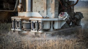
see morePassive seismic technology has been used for the first ...
see moreThe Pearl of Persian Gulf is the largest research ...
see moreAmong Iranian oil and gas companies, Dana Energy appears ...
see moreThe business unit at Dana Energy which is in ...
see moreDana Energy uses Monobore Completion as the best well ...
see moreSince its establishment, Dana Energy has spent much energy ...
see moreDana Energy’s research project to achieve higher precision in ...
see moreAfter more than a decade of ERP implementation experience ...
see moreSelf-confidence and the utilization of internal expertise have always ...
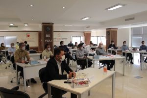
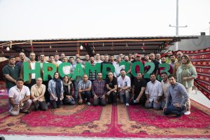
see moreThe HR Camp is designed to facilitate and enhance ...
see moreThe business operation team is essentially a combination of ...
see moreOil well drilling, a complex and difficult control process, ...
see moreModern business issues cannot be resolved without having a ...
see moreData management has become an important matter in the ...
see moreThe Individual Development Plan (IDP) at Dana Energy is ...
see moreStep into a world of diverse and promising career ...
see moreIn today's competitive job market, acing an interview is ...
see moreIn a world where professional aspirations are as diverse ...
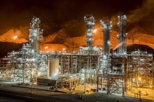
see moreDana Energy celebrates significant achievements in the energy sector ...
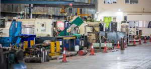
see moreDana Energy's Oil Tools Business has been awarded a ...
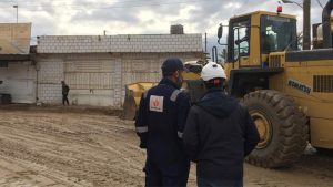
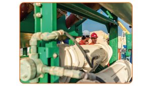
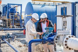
see moreSeismic operations play a critical role in oil and ...
see moreWe dedicate almost half of our daily lives to ...
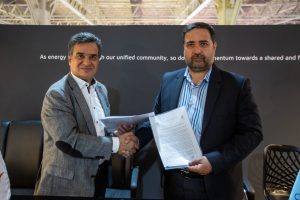
see moreEarlier this month, Dana Energy solidified a strategic collaboration ...
see moreThe transition from the traditional concept of personnel to ...
see moreAs a successful business at the forefront of modern ...
see moreDana Energy’s Geophysical Services has successfully won the tender ...
see moreThe narrative of Dana Energy stepping into the Exploration ...
see moreIn a rapidly evolving world where traditional problem-solving methods ...
see moreOn May 9th, which coincided with the 2nd day ...
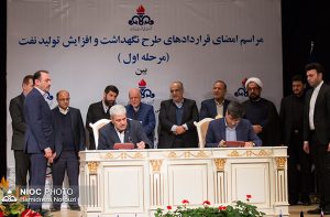
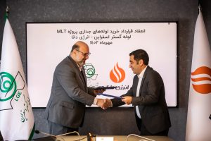
see moreIn March 2024, Dana Energy was awarded the tenders ...
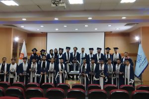
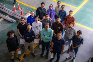
see moreEarlier this month, students from Amirkabir University of Technology ...
see more